About the electorate of Whitlam
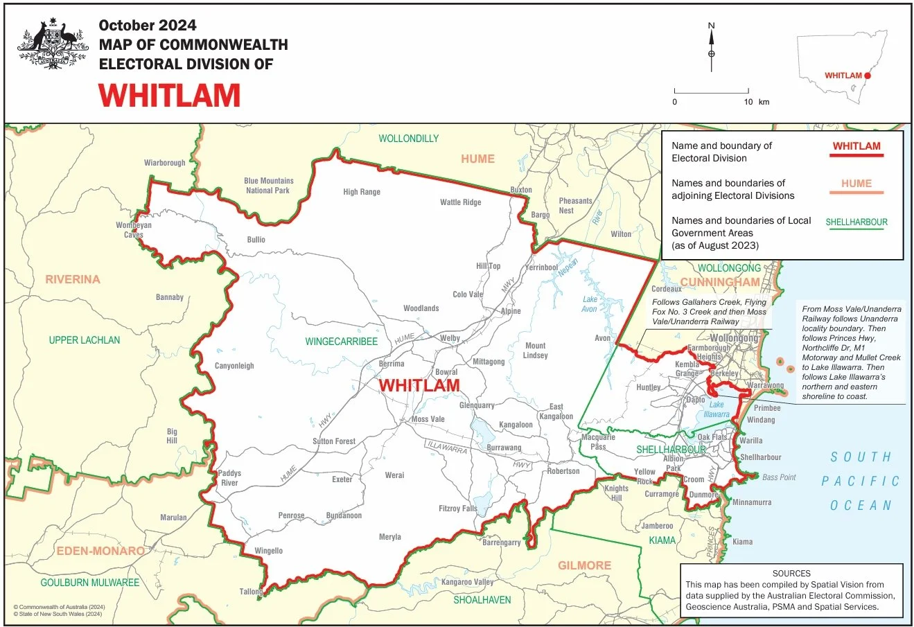
The federal electoral division of Whitlam incorporates the southern Illawarra and Southern Highlands regions in New South Wales.
It was established in 2016 following a redistribution that replaced the former seat of Throsby, named after a 19th century explorer and parliamentarian.
The name of the electorate honours Gough Whitlam, Australia’s 21st Prime Minister (1972-1975) who led a government that implemented progressive reforms in areas including health, education, urban development, human rights and Indigenous affairs.
The electorate includes major centres such as Shellharbour, Albion Park, Dapto, Bowral, Mittagong and Moss Vale, and encompasses Shellharbour City Council, Wingecarribee Shire Council and southern areas of Wollongong City Council.
Whitlam is characterised by a mix of working-class suburbs and rural communities. It has strong ties to steel-making and coal mining in the Illawarra and agriculture and tourism in the Southern Highlands.